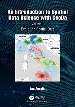
An Introduction to Spatial Data Science with GeoDa: Volume 1: Exploring Spatial Data
About this ebook
The focus of the book is on intuitive methods to discover interesting patterns in spatial data. It offers a progression from basic data manipulation through description and exploration to the identification of clusters and outliers by means of local spatial autocorrelation analysis. A distinctive approach is to spatialize intrinsically non-spatial methods by means of linking and brushing with a range of map representations, including several that are unique to the GeoDa software. The book also represents the most in-depth treatment of local spatial autocorrelation and its visualization and interpretation by means of GeoDa.
The book is intended for readers interested in going beyond simple mapping of geographical data to gain insight into interesting patterns. Some basic familiarity with statistical concepts is assumed, but no previous knowledge of GIS or mapping is required.
Key Features:
• Includes spatial perspectives on cluster analysis
• Focuses on exploring spatial data
• Supplemented by extensive support with sample data sets and examples on the GeoDaCenter website
This book is both useful as a reference for the software and as a text for students and researchers of spatial data science.
About the author
Luc Anselin is the Founding Director of the Center for Spatial Data Science at the University of Chicago, where he is also a Stein-Freiler Distinguished Service Professor of Sociology and the College, as well as a member of the Committee on Data Science. He is the creator of the GeoDa software and an active contributor to the PySAL Python open-source software library for spatial analysis. He has written widely on topics dealing with the methodology of spatial data analysis, including his classic 1988 text on Spatial Econometrics. His work has been recognized by many awards, such as his election to the U.S. National Academy of Science and the American Academy of Arts and Science.