Illustrated Bible Maps
Rose Publishing
aug. 2025 · Rose Publishing
E-bok
family_home
Kvalificerad
info
infoBoken släpps 19 augusti 2025. Du debiteras inte förrän utgivningsdatumet.
Om den här e-boken
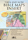
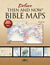
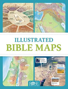
Packed full of fascinating maps, photos, and diagrams, Illustrated Bible Maps shows when and where Bible events happened. More than 100 Bible maps and illustrations will take you chronologically through the Old and New Testaments--from Abraham’s homeland in Mesopotamia to the seven churches of Revelation in Asia Minor.
- See the mountains of Ararat where Noah’s ark came to rest.
- Follow the route of the exodus through the Sinai Peninsula.
- See where David faced Goliath in the Valley of Elah.
- Locate all the places mentioned in the book of Psalms.
- Trace Paul’s missionary journeys across the Mediterranean Sea.
Läsinformation
Smartphones och surfplattor
Installera appen Google Play Böcker för Android och iPad/iPhone. Appen synkroniseras automatiskt med ditt konto så att du kan läsa online eller offline var du än befinner dig.
Laptops och stationära datorer
Du kan lyssna på ljudböcker som du har köpt på Google Play via webbläsaren på datorn.
Läsplattor och andra enheter
Om du vill läsa boken på enheter med e-bläck, till exempel Kobo-läsplattor, måste du ladda ned en fil och överföra den till enheten. Följ anvisningarna i hjälpcentret om du vill överföra filerna till en kompatibel läsplatta.