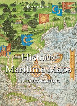
Historic Maritime Maps 120 illustrations
thg 12 2022 · Parkstone International
3,5star
2 bài đánh giáreport
Sách điện tử
108
Trang
family_home
Đủ điều kiện
info
reportĐiểm xếp hạng và bài đánh giá chưa được xác minh Tìm hiểu thêm
Giới thiệu về sách điện tử này
In the Middle Ages, navigation relied upon a delicate balance between art and science. Whilst respecting the customs and the precautions of their forbearers, sailors had to count on their knowledge of the stars, the winds, the currents, and even of migratory flights. They also used hand-painted maps, which, although certainly summary, were marvellously well-drawn. In following the saga of old sailors, from Eric Le Rouge to Robert Peary, Donald Wigal leads us in discovering the New World. This magnificent overview of maps dating from the 10th to the 18th centuries, often ‘primitive’ and sometimes difficult to understand, retraces the progress of cartography and shows the incredible courage of men who endeavoured to conquer the seas with tools whose geographical accuracy often left much to be desired.
Xếp hạng và đánh giá
3,5
2 bài đánh giá
Xếp hạng sách điện tử này
Cho chúng tôi biết suy nghĩ của bạn.
Đọc thông tin
Điện thoại thông minh và máy tính bảng
Cài đặt ứng dụng Google Play Sách cho Android và iPad/iPhone. Ứng dụng sẽ tự động đồng bộ hóa với tài khoản của bạn và cho phép bạn đọc trực tuyến hoặc ngoại tuyến dù cho bạn ở đâu.
Máy tính xách tay và máy tính
Bạn có thể nghe các sách nói đã mua trên Google Play thông qua trình duyệt web trên máy tính.
Thiết bị đọc sách điện tử và các thiết bị khác
Để đọc trên thiết bị e-ink như máy đọc sách điện tử Kobo, bạn sẽ cần tải tệp xuống và chuyển tệp đó sang thiết bị của mình. Hãy làm theo hướng dẫn chi tiết trong Trung tâm trợ giúp để chuyển tệp sang máy đọc sách điện tử được hỗ trợ.