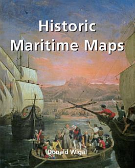
Historic Maritime Maps
2022-02 · Parkstone International
5,0star
1 apžvalgareport
El. knyga
256
Puslapiai
family_home
Tinkama
info
reportĮvertinimai ir apžvalgos nepatvirtinti. Sužinokite daugiau
Apie šią el. knygą
This book presents a selection of oceanic charts dating from the 13th to the 17th century. Though to us they may appear rudimentary, they bear excellent witness to the achievements of the early European navigators, and to their determination to explore the very ends of the Earth. What the charts may lack in geographical accuracy they undoubtedly make up for in charm. And of course they are priceless historical records. Recounting the epic voyages of maritime exploration, from Erik the Red to Robert Peary, author Donald Wigal leads us on an exciting journey from Terra Incognita to the World As We Know It.
Įvertinimai ir apžvalgos
5,0
1 apžvalga
Įvertinti šią el. knygą
Pasidalykite savo nuomone.
Skaitymo informacija
Išmanieji telefonai ir planšetiniai kompiuteriai
Įdiekite „Google Play“ knygų programą, skirtą „Android“ ir „iPad“ / „iPhone“. Ji automatiškai susinchronizuojama su paskyra ir jūs galite skaityti tiek prisijungę, tiek neprisijungę, kad ir kur būtumėte.
Nešiojamieji ir staliniai kompiuteriai
Galite klausyti garsinių knygų, įsigytų sistemoje „Google Play“ naudojant kompiuterio žiniatinklio naršyklę.
El. knygų skaitytuvai ir kiti įrenginiai
Jei norite skaityti el. skaitytuvuose, pvz., „Kobo eReader“, turite atsisiųsti failą ir perkelti jį į įrenginį. Kad perkeltumėte failus į palaikomus el. skaitytuvus, vadovaukitės išsamiomis pagalbos centro instrukcijomis.


