關於這本電子書
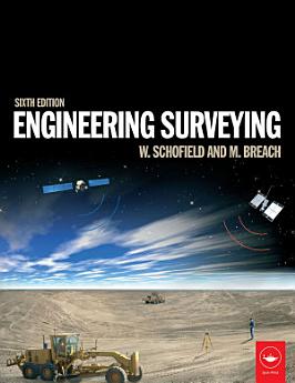
This fully updated sixth edition of Engineering Surveying covers all the basic principles and practice of the fundamentals such as vertical control, distance, angles and position right through to the most modern technologies.
It includes:
* An introduction to geodesy to facilitate greater understanding of satellite systems
* A fully updated chapter on GPS, GLONASS and GALILEO for satellite positioning in surveying
* All new chapter on the important subject of rigorous estimation of control coordinates
* Detailed material on mass data methods of photogrammetry and laser scanning and the role of inertial technology in them
With many worked examples and illustrations of tools and techniques, it suits students and professionals alike involved in surveying, civil, structural and mining engineering, and related areas such as geography and mapping.
關於作者
Wilf Schofield was formerly Principal Lecturer in Civil Engineering at Kingston University; Mark Breach was formerly Principal Lecturer in Engineering Surveying at Nottingham Trent University and served on technical committees of the RICS and ICES.


