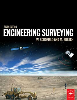
Engineering Surveying: Edition 6
Will Schofield · Mark Breach
2007년 2월 · CRC Press
eBook
638
페이지
family_home
적용 가능
info
report검증되지 않은 평점과 리뷰입니다. 자세히 알아보기
eBook 정보
Engineering surveying involves determining the position of natural and man-made features on or beneath the Earth’s surface and utilizing these features in the planning, design and construction of works. It is a critical part of any engineering project. Without an accurate understanding of the size, shape and nature of the site the project risks expensive and time-consuming errors or even catastrophic failure.
This fully updated sixth edition of Engineering Surveying covers all the basic principles and practice of the fundamentals such as vertical control, distance, angles and position right through to the most modern technologies.
It includes:
- An introduction to geodesy to facilitate greater understanding of satellite systems
- A fully updated chapter on GPS, GLONASS and GALILEO for satellite positioning in surveying
- All new chapter on the important subject of rigorous estimation of control coordinates
- Detailed material on mass data methods of photogrammetry and laser scanning and the role of inertial technology in them
With many worked examples and illustrations of tools and techniques, it suits students and professionals alike involved in surveying, civil, structural and mining engineering, and related areas such as geography and mapping.
저자 정보
Wilf Schofield was formerly Principal Lecturer in Civil Engineering at Kingston University; Mark Breach was formerly Principal Lecturer in Engineering Surveying at Nottingham Trent University and served on technical committees of the RICS and ICES.
이 eBook 평가
의견을 알려주세요.
읽기 정보
스마트폰 및 태블릿
노트북 및 컴퓨터
컴퓨터의 웹브라우저를 사용하여 Google Play에서 구매한 오디오북을 들을 수 있습니다.
eReader 및 기타 기기
Kobo eReader 등의 eBook 리더기에서 읽으려면 파일을 다운로드하여 기기로 전송해야 합니다. 지원되는 eBook 리더기로 파일을 전송하려면 고객센터에서 자세한 안내를 따르세요.


